
A research collaboration involving scientists from Ghana and international institutions is building and installing open-source geophysical technology to help farmers and policymakers better appreciate how water moves through agricultural soils and ways farming practices can be adapted to a changing climate.
The Geophysics for Climate-Smart Agriculture in Africa Project, running for two years, is bringing together expertise from geophysics, soil science, and agronomy to investigate the links between soil-water dynamics, agricultural practices, crop productivity, and climate resilience.
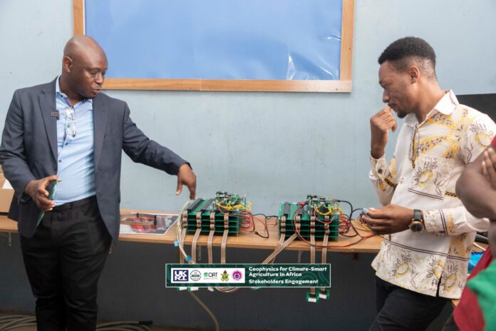
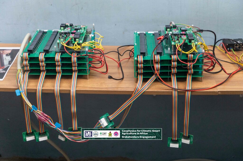
At the centre of the work is the building of open-source low-cost Electrical Resistivity Tomography (ERT) monitoring systems at the Kwame Nkrumah University of Science and Technology (KNUST) with the geophysics component anchored by the West Africa Geophysics (WAGeo) Lab.
The ERT system will allow researchers to monitor changes associated with rainfall, crop water use and different agricultural management practices, which will support investigations into how farming practices such as cover cropping, tillage variations, and residue management influence soil-water conditions and crop performance.
The systems are being designed to move beyond occasional measurements of sub-surface conditions but instead provide continuous information on how soil and subsurface water conditions change over time.
Project team member and Scientific Director of the West Africa Geophysics Laboratory (WAGeo) Dr Cyril D. Boateng, noted that the project would help build in-house expertise in geophysical instrumentation, monitoring and data processing.
This, he also says, would create opportunities for early-career researchers to work directly with the technology.
“The aim is for the knowledge acquired through the project to be transferred across generations of researchers in Ghana and the wider West African region,” he said.
Dr. Michael Kweku Edem Donkor, who leads the instrumentation component of the project, noted that the agricultural geophysics work depended heavily on reliable instrumentation, making the development of local systems a critical part of the research.
“Capacity building is also central to the partnership with the British Geological Survey (BGS) helping to build capacity and transferring knowledge to the team in Ghana,” he highlighted.
Russell Swift, a geophysicist at BGS and research co-lead for the project, emphasised that the collaboration is helping KNUST build the capability to move from static, one-off geophysical measurements towards continuous ERT monitoring.
“The partnership is providing early-career researchers with practical exposure to geophysics, soil physics, experimental co-design, instrument development, data processing and data management,” he said.
The local development of the equipment is expected to also address a persistent challenge in geophysical research in Africa: the cost of importing specialized instruments and the difficulty of maintenance culture.
The scientists assert reliance on imported equipment could become unsustainable when there is limited local expertise to repair, modify or maintain the systems.
The development of the technology in Ghana, could create the opportunity to build a team that can maintain the equipment locally and adapt it to future research needs.
Principal Research Scientist at the CSIR-Crops Research Institute (CSIR-CRI) and International project co-lead, Dr Steven Yeboah, said that the collaboration between geophysics and crop research provides a new dimension to agricultural research in Ghana.
“The sensors would provide information that could help researchers determine which crop residues and soil-management practices improve soil physical conditions and support sustainable yields,” he said.
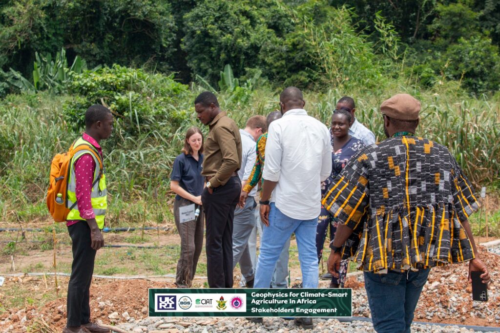
The project plans to support wider adoption through demonstration fields, farmer training and capacity building following the development of effective systems.
The agricultural dimension of the work is being strengthened through the involvement of the International Center for Tropical Agriculture (CIAT).
Systems Agronomist at CIAT, Dr Patricia Amankwah Yeboah, stressed that the project demonstrates the importance of combining expertise from different disciplines to tackle complex agricultural challenges.
“Rather than studying climate impacts from a single scientific perspective, the collaboration is linking information about what is happening beneath the soil with agricultural management and crop performance,” she said.
The broader project is investigating soil-water dynamics, groundwater recharge and greenhouse gas emissions, including nitrous oxide, with the aim of supporting more resource-efficient and climate-resilient farming systems.
The work brings together KNUST, CSIR-CRI, the British Geological Survey, the University of Nottingham and CIAT, with support from UK Research and Innovation (UKRI).
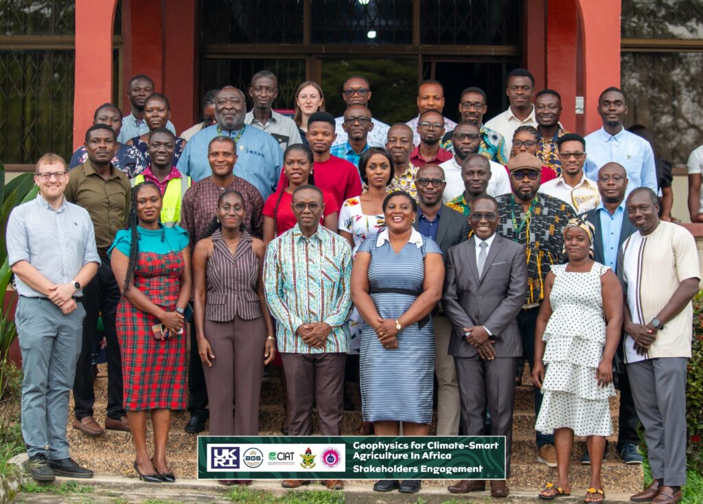
Stakeholders from agriculture, policy, research, extension services, civil society, water resources, farmer organisations and the private sector have also been engaged in shaping the research and considering pathways for adoption.
For the researchers, the ambition extends beyond the two-year project with the goal to demonstrate that advanced geophysical monitoring can be made more accessible by applying locally-built open source technology, strengthening African scientific capacity and applying the resulting data to real agricultural decisions.
As the project progresses, the researchers will continue refining the ERT systems, collecting field data and working with agricultural stakeholders to translate the findings into practical approaches for managing soil and water under increasing climate pressure.