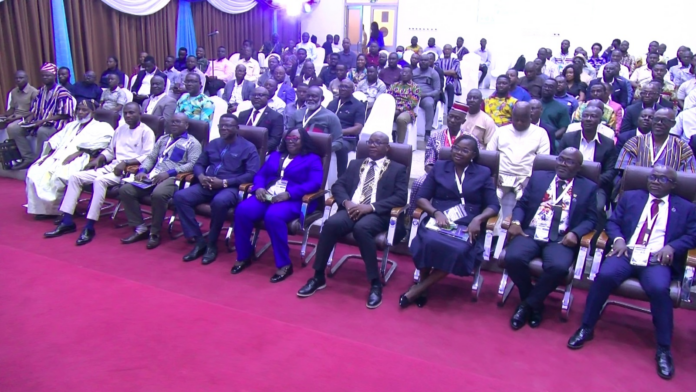

Land Surveyors and Geomatic Engineers are calling for stronger collaboration among professionals, institutions and other stakeholders to address Ghana’s growing land and environmental challenges.
They say better coordination, reliable spatial data and the adoption of modern technologies are essential to tackling flooding, illegal mining, unplanned settlements and persistent land disputes.
The call was made at the 2026 Annual Conference and Annual General Meeting of the Land Surveying Division of the Ghana Institution of Surveyors, held in Accra.
Collaboration Key to Solving Land Challenges
Chairman of the Conference Planning Committee, Surveyor Professor Prosper B. Laari, said land-related challenges are multifaceted and cannot be effectively addressed when professionals and institutions operate in isolation.
He explained that the theme of collaboration cuts across the Ghana Institution of Surveyors and its three professional divisions: Land Surveying, Quantity Surveying, and Valuation and Estate Surveying.
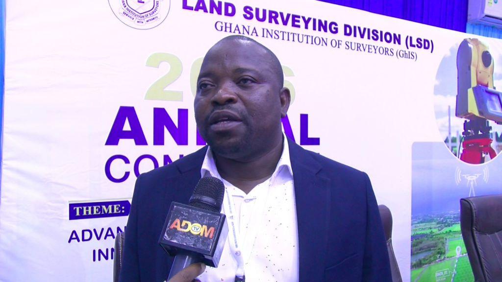
According to him, problems such as flooding often expose the consequences of poor coordination among institutions.
“If we talk about a flood, every institution can defend what they are doing, but because we haven’t put it together, we may not be able to identify where the fault lines are,” he said.
He said the various divisions of the Institution would use their conferences and seminars to engage professionals outside their immediate areas of practice, allowing them to identify gaps and find practical ways of working together in the national interest.
Technology Must Drive Modern Land Administration
Professor Laari also urged surveyors to embrace emerging technologies, including artificial intelligence and remote sensing, to improve the accuracy, speed and efficiency of land administration.
He stressed that reliable spatial data is increasingly important for national development, particularly as Ghana grapples with rapid urbanisation, environmental degradation and competing demands for land.
The effective use of technology, he said, can provide decision-makers with accurate information needed for planning and managing the country’s land and natural resources.
Surveyors Push for Law to Regulate Profession
Meanwhile, the Ghana Institution of Surveyors is intensifying its call for legislation to regulate the surveying profession.
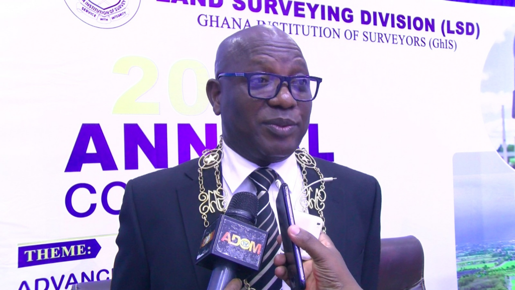
President of the Institution, Surv. Emmanuel Kofi Cobblah, said the proposed legislation would establish a statutory council with legal authority to regulate practitioners.
He explained that although the Institution currently regulates its members on a voluntary basis, it lacks the legal power to prevent unqualified individuals from offering surveying services.
He said the absence of a statutory regulatory framework creates significant risks because advances in technology have made it possible for people without the required professional training to acquire surveying equipment and present themselves as surveyors.
‘Anyone Can Call Themselves a Surveyor’
Surv. Cobblah warned that the situation could have serious consequences for land administration and property ownership.
He noted that improperly prepared site plans and inaccurate spatial data can result in people believing they own particular parcels of land when the information on their documents does not accurately represent the location or boundaries of the property.
Such inaccuracies, he said, can eventually trigger costly and prolonged land disputes.
The problem extends beyond private land transactions, he added, because surveying information is also used for development planning, national boundaries and other decisions of strategic importance.
Protecting Ghana’s Borders
Surv. Cobblah emphasised that professional surveying is also directly connected to national security and sovereignty.
He cited the Ghana-Côte d’Ivoire maritime boundary dispute as an example of the importance of accurate surveying and mapping, noting that surveyors and their maps played an important role in establishing Ghana’s position.
He also pointed to the work of land surveyors with the National Boundary Commission, saying professional regulation is necessary to minimise risks associated with Ghana’s international boundaries.
“Our surveyors are with the National Boundary Commission helping so that it minimizes all the risk along the boundaries,” he said.
Bill Heads Towards Parliament
According to Surv. Cobblah, the proposed legislation has made progress under the current administration.
He said the sector had received assurances from the sector Minister that efforts would be made to transform the proposed bill into an Act during his tenure.
He disclosed that the bill had been taken to Cabinet and approved, paving the way for it to proceed to Parliament.
If passed, the legislation would replace the current voluntary system with a statutory framework under which practitioners would be formally licensed and regulated.
Surv. Cobblah said this would provide members of the public with a clear avenue for seeking redress when a practitioner breaches professional standards.
‘It Is Not About Protecting Us’
The Ghana Institution of Surveyors President stressed that the push for legislation is not primarily about protecting the interests of existing professionals.
Rather, he said, it is about protecting the public, the integrity of Ghana’s spatial data and the country’s national interests.
He explained that under a statutory system, practitioners who fail to meet professional standards could face sanctions, including the loss of their licence to practise.
For him, effective regulation is long overdue.
“For those of us who are almost done practicing, we don’t need a law in a sense, but it is not for our personal benefit. It’s for the good of the nation that we are clamoring for.”
A Call for Collective Action
Chairperson of the Land Surveying Division, Dr Tina Wemegah, also stressed the need for greater cooperation among professionals in the built environment.
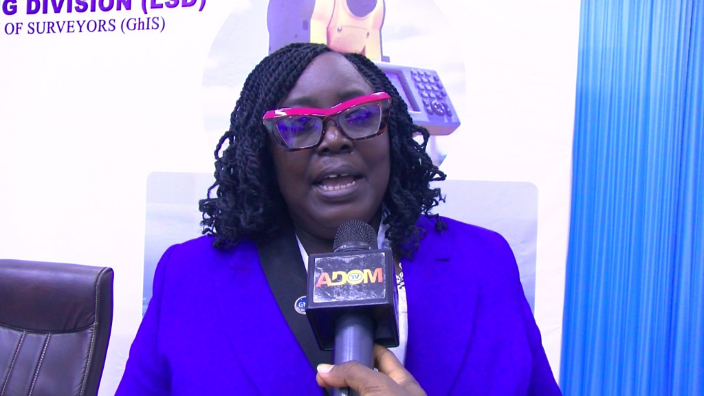
She said coordinated efforts would help shape the future of Ghana’s spatial development and ensure that land and other natural resources are managed more effectively.
The surveyors believe that combining professional expertise, modern technology and stronger regulation will help Ghana make better decisions about its most valuable and contested resource — land.
For a country facing increasing urbanisation, environmental pressures and land-related conflicts, they say collaboration can no longer be optional but must become a central pillar of national development.
I’ll consider review — Oppong Nkrumah hints at next move after Supreme Court dismisses injunction
GoldBod losses: Afenyo-Markin vows to pursue issue despite attacks